Machame Route
KILIMANJARO CLIMBING
- TOUR PROGRAM
- Item Included
- Lodge safari according to the itinerary
- Transportation in a 4×4 safari vehicle
- Professional, English-speaking guide
- Overnight accommodation according to the itinerary
- Meals according to the itinerary
- Mineral water
- All the mentioned activities
- All national park fees
- All transports
- Item Excluded
- Alcoholic and soft drinks
- Visa fees
- Tips
- Personal spending money for souvenirs etc
- Travel insurance
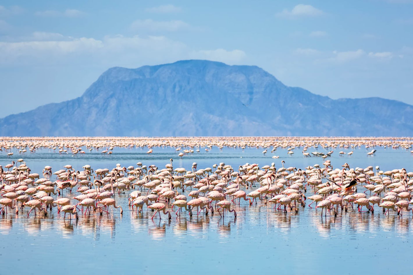
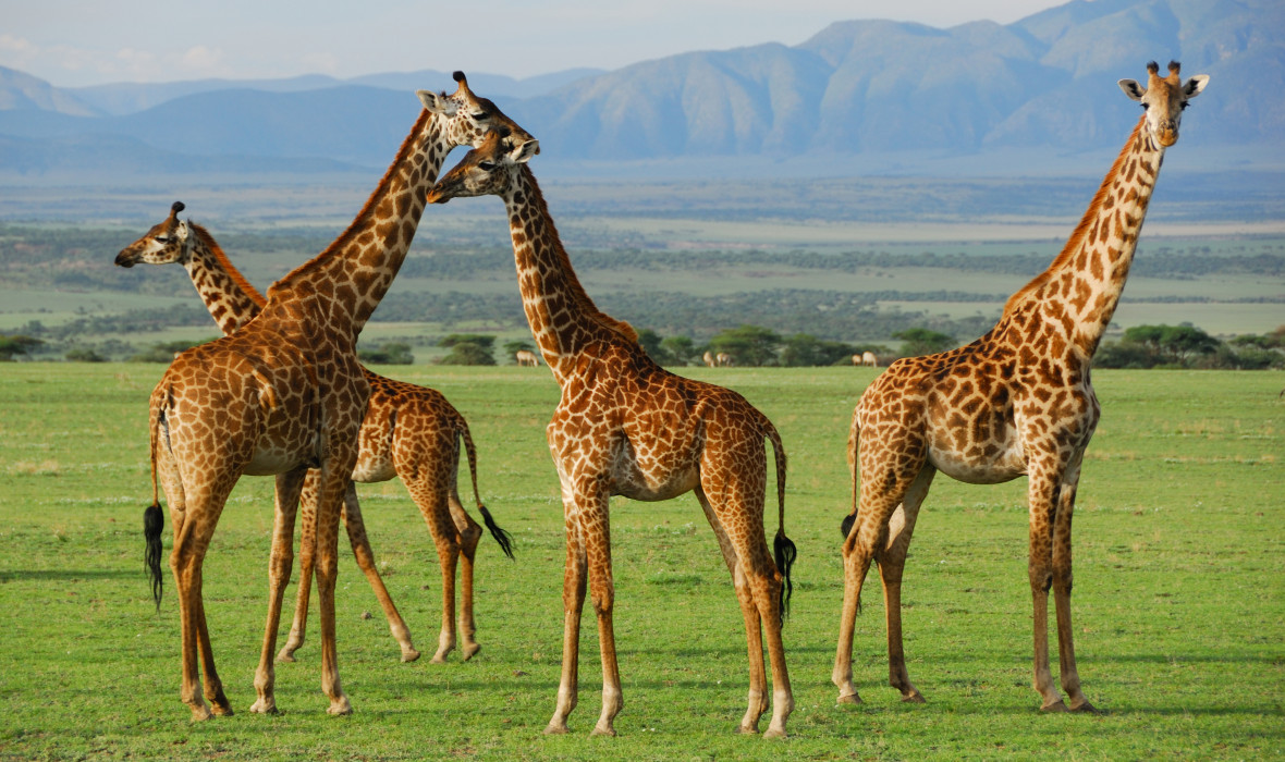
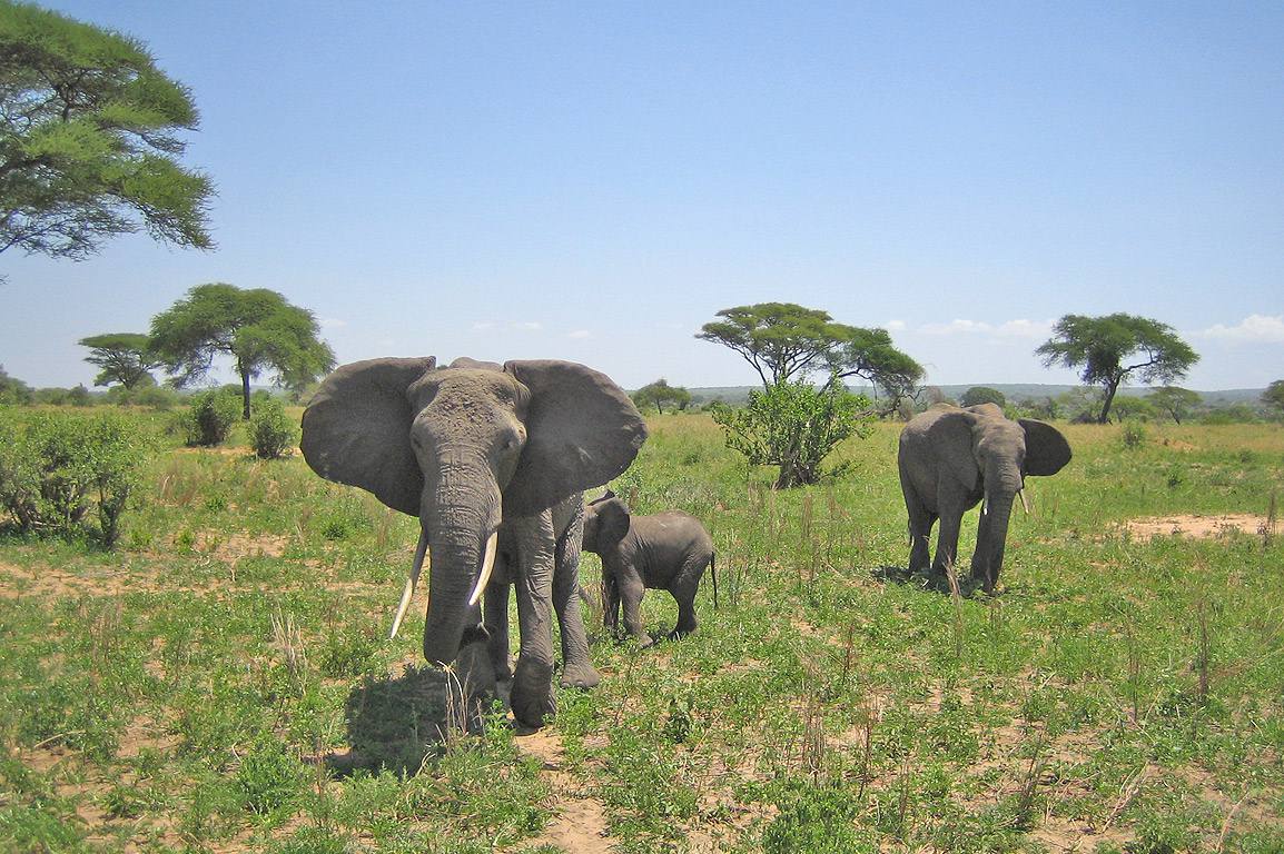
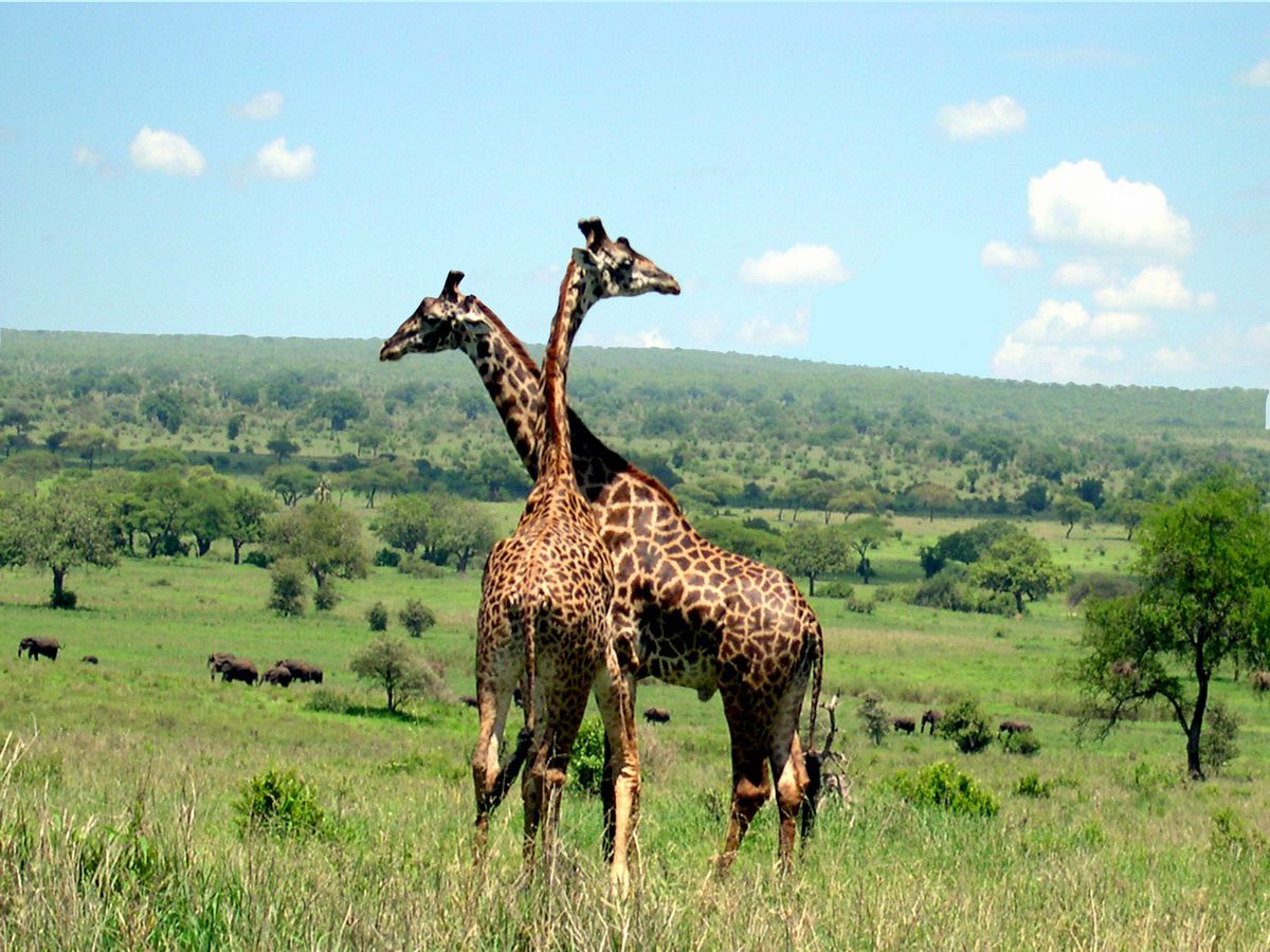
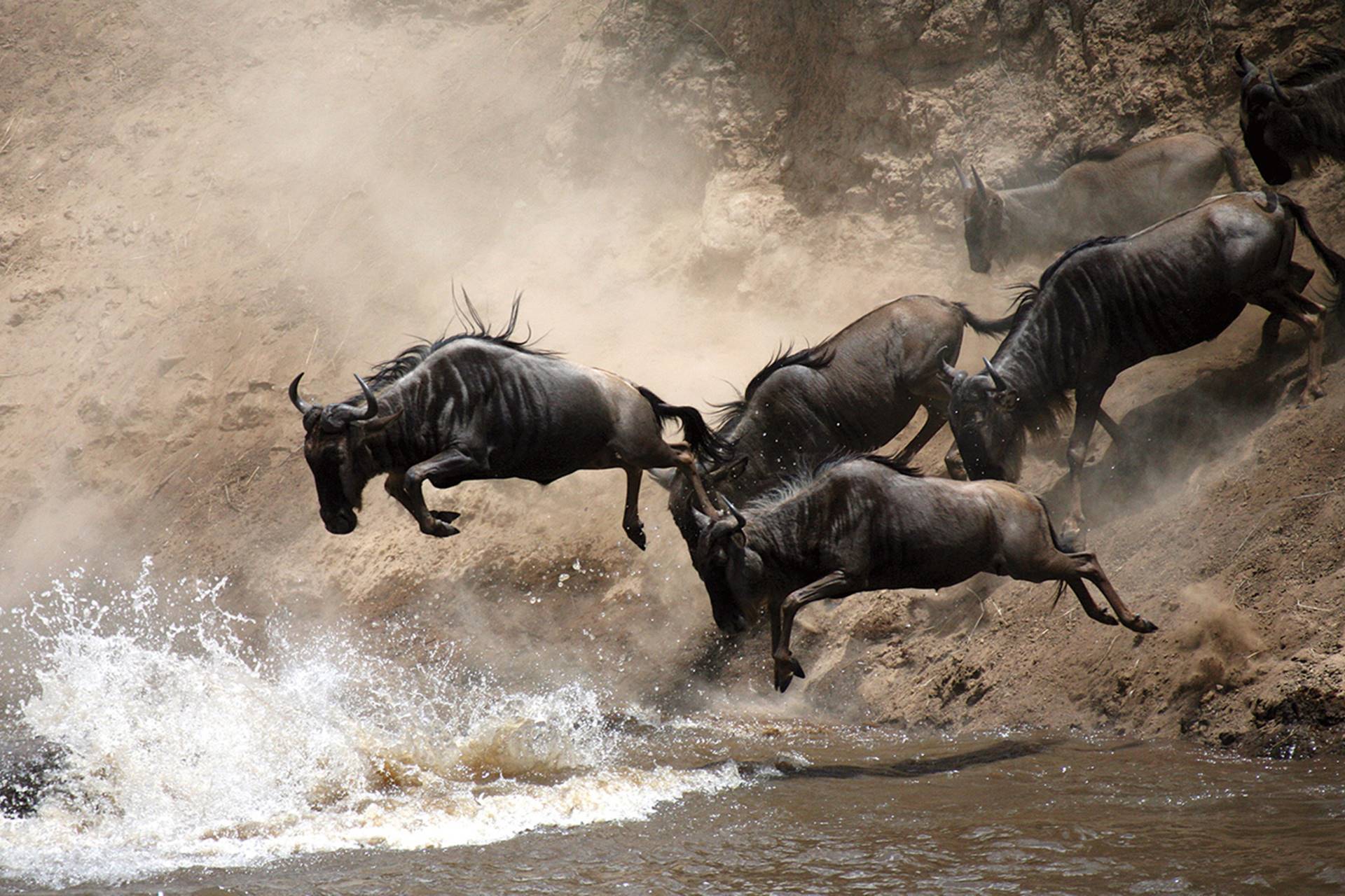
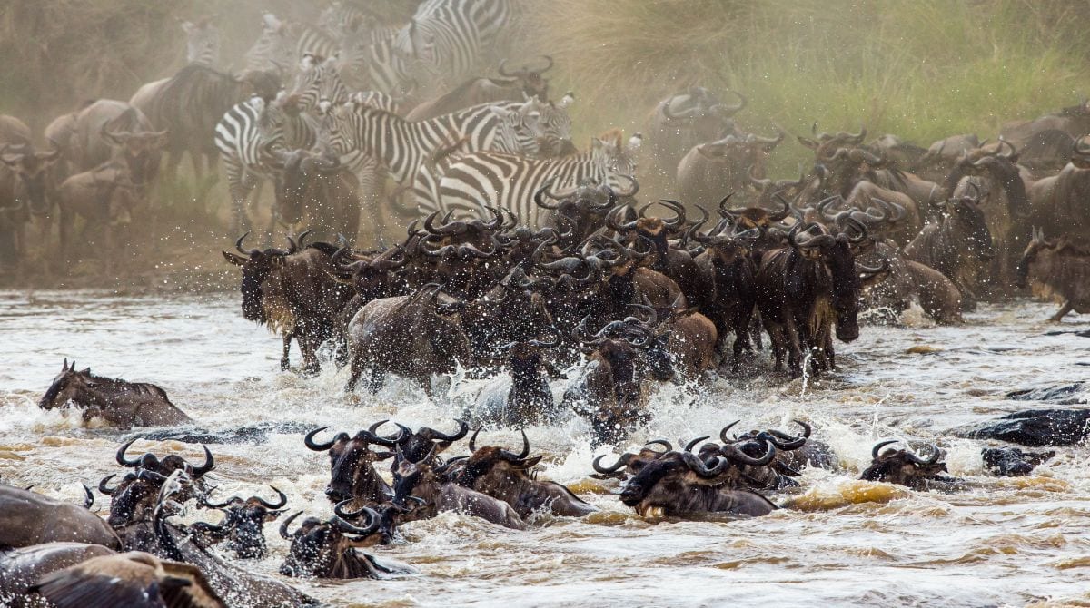
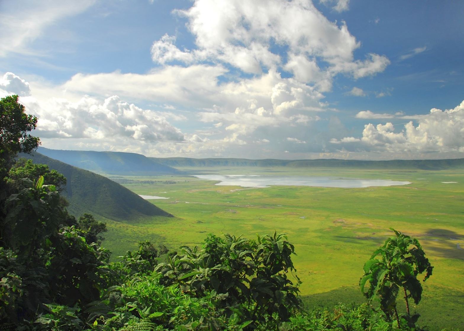
- EXPECTED TO SEE
The Machame route is scenically beautiful and varied. However, due to its popularity there are increased numbers of trekkers, it loses some of its splendor. The Machame route approaches the summit from the southwest and descends using the Mweka route, rewarding climbers with views of the expansive Shira Plateau, an optional scramble up Lava Tower, a climb up the Great Barranco wall, and a traverse underneath Kilimanjaro’s southern ice field.Great for acclimatization with lots of walk high, sleep low opportunities.
Challenging trek with stunning scenery through 5 diverse climatic zones.Good opportunity to split pre-summit day climb to leave climbers rested before summiting.Very popular trail.
Pre-trek briefing at your Moshi hotel. You should be planning to arrive at least one day before the start of the trek. Today we will spend in having a pre-trek briefing. We will also review your equipment and rent any equipment which is needed.
Machame Route (6days/5nights)
Day (1):
Machame Gate to Machame Camp
Elevation (m): 1830m to 3100m
Elevation (ft): 6000ft to 10,200ft
Hiking Time: 4-5 hours
Habitat: Montane Forest
At 0800 hrs, drive from the Hotel in Moshi to Machame National Park Gate, it takes about forty minutes from Moshi. The journey passes through the village of Machame which is located on the lower slopes of the mountain. After registration and all the formalities, with the porters and guides you leave the park gate and walk through the rain forest on a winding trail up on a ridge. Lower down, the trail can be muddy and slippery. We continue a short distance until we reach the Machame Camp.
DAY (2):
Machame Camp to Shira Camp
Elevation (m): 3100m to 3840m
Elevation (ft): 10,200ft to 12,600ft
Walking Time: 4-5 hours
Habitat: Moorland
After breakfast, we leave the glades of the rain forest and continue on an ascending path, crossing the little valley walking along a steep rocky ridge, covered with heather, until the ridge ends. The route now turns west onto a river gorge. In the midday you arrive at Shira for Hot lunch and siesta until afternoon when you take a short walk to Shira Hut/cave.
DAY (3):
Shira Camp to Lava Tower to Barranco Camp
Elevation (m): 3840m to 4630m to 3860m
Elevation (ft): 12,600ft to 12,700ft
Walking Time: 5-7 hours
Habitat: lower alpine desert
From the Shira Plateau, we continue northeast up a ridge, passing the junction towards the peak of Kibo. As we continue, our direction changes to the South east towards the Lava Tower, where we will be having picnic hot lunch, you can see second junction which leads up to the Arrow Glacier at an altitude of 4,876 meters. We now continue down to the Barranco Hut at an altitude of 3,860 meters. Here we rest, enjoy dinner, and overnight. Although you end the day at the same elevation as when you started, this day is very important for acclimatization and will help your body prepare for summit day.
DAY (4):
Barranco Camp to Barafu Camp
Elevation (m): 3860m to 4600m
Elevation (ft): 12,700ft to 15,100ft
Hiking Time: 6 to 7 hours
Habitat: Alpine Desert
After breakfast, we leave Barranco and continue on a steep ridge passing the Barranco Wall, to Karanga Valley for hot lunch and continue to the Barafu Hut. You have completed the South Circuit, which offers views of the summit from many different angles. Here we make camp, rest, enjoy dinner, and prepare for the summit day. The two peaks of Mawenzi and Kibo are to be seen from this position.
DAY (5):
Barafu Camp to Summit to Mweka Hut
Elevation (m): 4600m to 5895m (and down to 3100m)
Elevation (ft): 15,100ft to 19,300ft (and down to 10,200ft)
Hiking Time: 6- 8 hours ascent / 7-8 hours descent
Habitat: Stone scree and ice-capped summit
Very early in the morning (midnight), we continue our way to the summit between the Rebmann and Ratzel glaciers. We heading in a northwest direction and ascend through heavy scree towards Stella Point on the crater rim.
This is the most mentally and physically challenging portion of the trek. At Stella Point (5685m), you will stop for a short rest and will be rewarded with the most magnificent sunrise you are ever likely to see (weather permitting).From Stella Point 1-hour ascent to the summit brings you at Uhuru Peak, you have reached the highest point on Mount Kilimanjaro and the continent of Africa.
You will need clothing for both extremes with you. From the summit, we now make our descent continuing straight down to the Mweka Hut camp site, stopping at Barafu for lunch. You will need gaiters and trekking poles for the loose gravel going down. Mweka Camp is situated in the upper forest and mist or rain can be expected in the late afternoon.
Later in the evening, we enjoy our last dinner on the mountain and a well-earned sleep.
DAY (6):
Mweka Camp to Mweka Gate to Moshi
Elevation (m): 3100m to 1830m
Elevation (ft): 10,200ft to 6000ft
Hiking Time: 3 hours
Habitat: Forest
After breakfast, we continue the descent down to the Mweka Park Gate to receive your summit certificates. At lower elevations, it can be wet and muddy. Gaiters and trekking poles will help.
A vehicle will meet you at Mweka gate to drive you to the Hotel in Moshi for dinner and overnight.
End of the trekking.
- RELATED TOURS